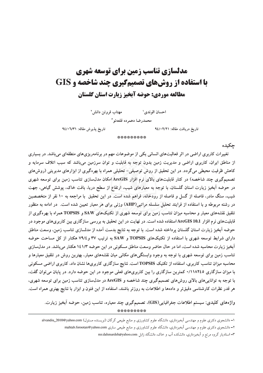
نویسنده: الوندی، احسان ؛ فروتن دانش، مهتاب ؛ دهمرده قلعهنو، محمدرضا ؛
اطلاعات جغرافیایی (سپهر) بهار 1396 - شماره 101 رتبه ب (وزارت علوم/ISC (14 صفحه - از 169 تا 182 )
- دریافت فایل ارجاع :
-
(پژوهیار,
,
,
)
-
-

تحتاج دخول لعرض محتوى المقالة. إذا لم تكن عضوًا ، فتابع من الجزء الاشتراک.
إن كنت لا تقدر علی شراء الاشتراك عبرPayPal أو بطاقة VISA، الرجاء ارسال رقم هاتفك المحمول إلی مدير الموقع عبر
webmaster@noormags.com
.
You need Sign in to view the content of the article. If you are not a member, proceed from part Sign up.
If you fail to purchase subscription via PayPal or VISA Card, please send your mobile number to the Website Administrator via
webmaster@noormags.com
.
